
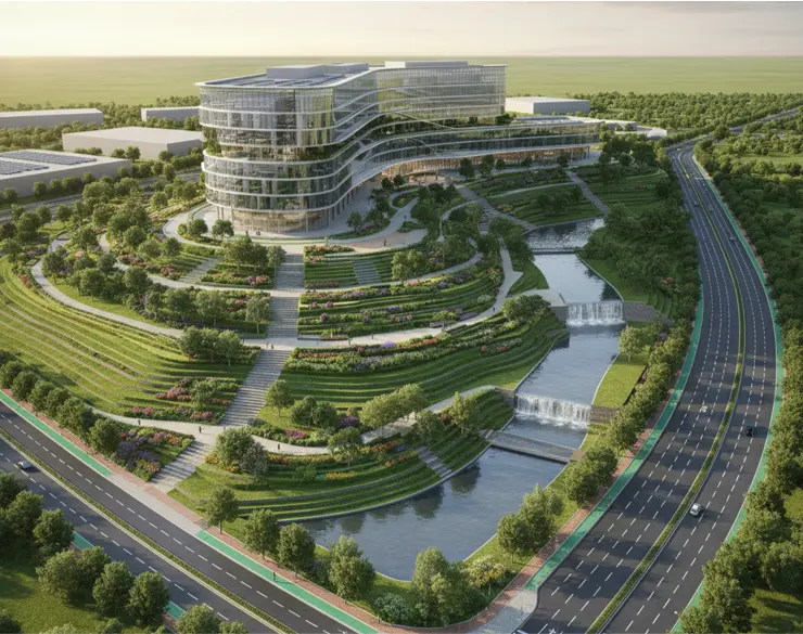
LANDSCAPE AND INFRASTUCTURE MODELLING
Petrocon provides comprehensive Landscape and Infrastructure Modelling solutions that encompass site grading, terrain mapping, utilities coordination, and road network planning. Using advanced GIS-BIM integrations and civil design software, we deliver accurate, data-rich models that support sustainable development and infrastructure project execution. Our approach guarantees precise topographical and utility modeling to facilitate effective environmental management and construction logistics